A drive to Canelo Pass in Arizona is an otherworldly experience
Canelo Pass is a high mountain pass at an elevation of 1.667m (5,469ft) above sea level, located in Santa Cruz County, in the US state of Arizona.
Where is Canelo Pass?
The pass is located southeast of Tucson, in the southern part of Arizona, near the Mexican border, high between the Canelo Hills and the northern end of the Huachuca Mountains. Canelo means cinnamon-colored in Spanish.
Is Canelo Pass unpaved?
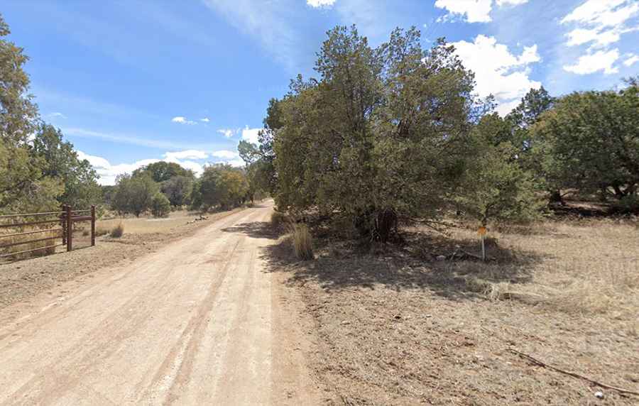
The road to the summit is totally unpaved. It’s called Forest Road 799 (Canelo Pass Road). A high-clearance vehicle, such as an SUV or truck, is recommended. The road is pretty steep in parts, hitting a 19% of maximum gradient through some of the ramps.
How long is Canelo Pass in Arizona?
Located in Coronado National Forest, the pass is 28.48km (17.7 miles) long, running north-south from Canelo, a ghost town in eastern Santa Cruz County, to Duquesne Road. Running through grasslands, chaparral, and a rich riparian environment, the road is pretty scenic. The drive is pretty remote.