The breathtaking road to Sugarloaf Peak in NV
Sugarloaf Peak is a high mountain peak at an elevation of 2.767m (9,078ft) above the sea level, located on the boundary of Esmeralda and Mineral counties, in the U.S. state of Nevada.
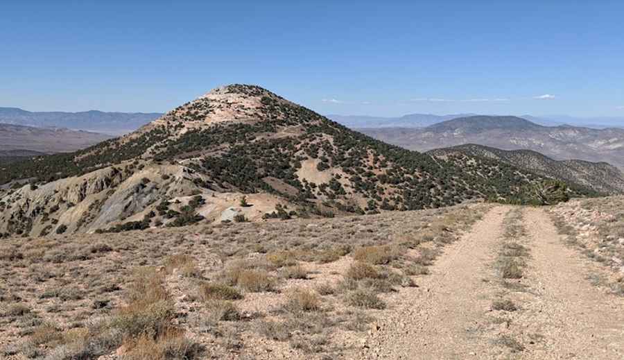
Can you drive to Sugarloaf Peak in NV?
Set high in Inyo National Forest, in the northern part of the White Mountains, the road to the summit is an old mining route, totally unpaved and pretty rough. 4x4 vehicles only. The principal metallic mineral resources are silver, gold, and mercury.
How long is the road to Sugarloaf Peak in NV?
Located in the southwestern portion of Nevada, the road is 9.33km (5.8 miles) long starting at the paved U.S. Route 6 (US 6), also known as Grand Army of the Republic Highway. Along the way, scattered mining ruins are visible.
Pic: Marc Belanger