Urban Navigation: A 24-Hour Logistics Guide to San Francisco’s Iconic Roads
San Francisco presents one of the most complex urban driving environments in the United States, defined by extreme vertical gradients, historic infrastructure, and high-density bridge corridors. Successfully navigating the city in a limited timeframe requires a professional approach to route timing and vehicle management. From the structural masterclass of the Golden Gate Bridge to the restricted access zones of the waterfront, driving these roads demands precision and a deep understanding of the city’s unique topographical challenges.
| San Francisco Road Logistics: Operational Data | |
|---|---|
| Primary Corridor | Golden Gate Bridge (US-101 / SR-1) |
| Elevation Challenge | Mission District and Presidio gradients |
| Coastal Route | Marina District to Land’s End |
| Traffic Profile | High-saturation urban grid; complex toll telemetry |
How to manage the Golden Gate Bridge transit logistics?
The Golden Gate Bridge is the city’s most critical road artery, connecting the San Francisco waterfront to the northern woods. When driving this bridge, motorists must account for high-velocity winds and frequent fog that can reduce visibility instantly. To avoid peak saturation, the optimal window for transit is between 08:00 and 10:00. Note that the bridge utilizes an all-electronic tolling system; professional drivers ensure their vehicle’s telemetry is registered to avoid administrative penalties when crossing this architectural landmark.
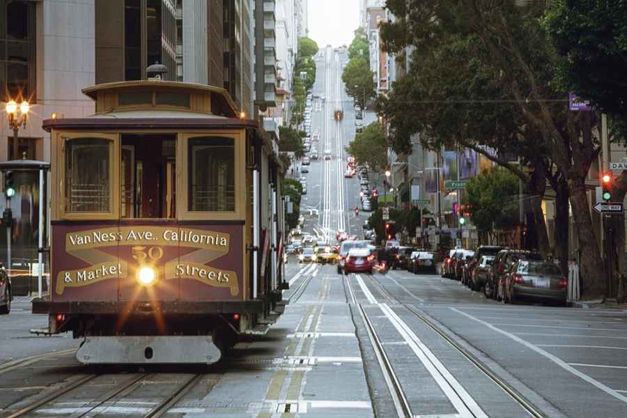
What are the risks of driving the 24th Street and Mission corridors?
The Mission District, famous for its murals along Clarion and Balmy Alleys, features a high-density urban road network with significant pedestrian conflict zones. Driving these roads requires a low-velocity approach and extreme vigilance. The 24th Street corridor is a masterclass in urban awareness, where the driver must balance narrow lane navigation with the unpredictable movements of local commerce and public transit. This area serves as a prime example of the "stop-and-go" mechanical stress typical of San Francisco’s interior roads.
Why is the Marina District to Land’s End route a technical test?
Transitioning from the Palace of Fine Arts on Old Mason Street toward Land’s End offers a survey of San Francisco’s coastal road engineering. This route includes the Presidio, where the roads feature sharp turns and rapid elevation shifts. The technical demand here is managing the vehicle's braking system on steep declines while navigating the high-saturation areas of Fisherman’s Wharf. Proper gear selection is essential to prevent brake fade when descending toward the bay front.
How to handle vehicle logistics for San Francisco Bay access?
Accessing the bay-side infrastructure, including the Ferry Building and the piers for Alcatraz transport, involves navigating some of the city's most congested waterfront roads. Professional drivers recognize that the waterfront grid is highly sensitive to ferry schedules and tourist influxes. Planning for driving in this zone should include verifying parking availability in advance, as the narrow streets and restricted zones near Fort Mason and the Marina District offer zero margin for logistical error.
Conclusion: The Discipline of San Francisco Road Travel
San Francisco is an unforgiving environment for the unprepared driver. By focusing on the structural challenges of the Golden Gate and the logistical density of the urban corridors, you ensure a successful 24-hour operation. Driving these roads is a technical achievement that requires respecting the hills, monitoring the traffic telemetry, and maintaining absolute situational awareness. Master the topography, and you master the city.
Image credit: Depositphotos