Road trip guide: Conquering Stemple Pass in MT
Stemple Pass is a high mountain pass at an elevation of 1.945m (6,381ft) above the sea level, located in Lewis and Clark County, in the U.S. state of Montana.
Is Stemple Pass in MT unpaved?
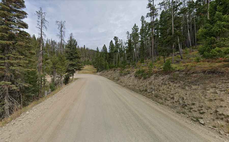
Located on the Continental Divide, the road to the summit is totally unpaved. It’s called Stemple Pass Road (County Road #601). The road is navigable by most passenger vehicles but high clearance is recommended. Loose gravel, steep sections and numerous blind corners are the main risk.
How long is Stemple Pass?
The pass is 37.17km (23.1 miles) long, running from Wilborn to Lincoln. There is a large parking area at the top of the pass with restroom facilities. The road passes some wonderfully photogenic abandoned buildings as it climbs to the pass.
Is Stemple Pass in MT open?
Set high in the Helena National Forest, in the winter months, this road is maintained, so access to the pass is typically open all year round but short term closures are common in winter due to dangerous weather conditions. Road conditions in Montana can change rapidly.