Take the Scenic Route and Discover Flesher Pass in Montana
Flesher Pass is a high mountain pass at an elevation of 1.872m (6,141ft) above the sea level, located in Lewis and Clark County, in the U.S. state of Montana.
Is Flesher Pass paved?
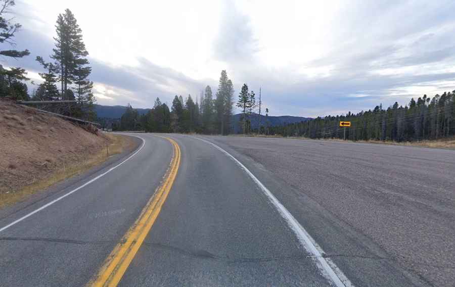
Located on the Continental Divide, the scenic road to the summit is totally paved. It’s called County Road 279 (Flesher Pass Road). The summit hosts a parking lot for a few passengers vehicles but limited space for trailers. Access to the pass is typically open all year round but short term closures are common in winter due to dangerous weather conditions.
How long is Flesher Pass?
Set high in the Helena National Forest, the pass is 26.71km (16.6 miles) long running south-north from Wilborn to MT-200 road. The drive is steep in parts, hitting an 8,6% of maximun gradient through some of the ramps. The drive offers 360-degree vistas of surrounding mountains.