How To Have The Ultimate Road Trip To Stonewall Mountain in MT
Stonewall Mountain is a mountain peak at an elevation of 2.525m (8,284ft) above the sea level, located in Lewis and Clark County, in the U.S. state of Montana.
How long is the road to Stonewall Mountain?
Set high in the Lewis Range, the road to the summit is totally unpaved, pretty rocky and steep in spots. Starting at Lincoln, the road is 28.96km (18 miles) long. A 4x4 vehicle is required to get to the summit. The summit has great views of the surrounding mountains, including Red Mountain, the high point of Lewis and Clark County.
Is Stonewall Mountain open?
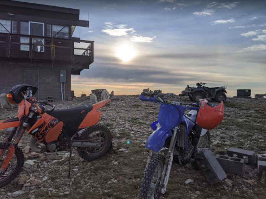
Tucked away in Helena National Forest, the road is seasonally closed in winters, and open from July through October. The summit hosts a fire lookout tower, established in 1945 and staffed until 1963. It is staffed in the summer.
Pic: Sean Connell