Road Safety Alert: Two Arizona Highways Flagged as Among the Nation's 'Most Dangerous'
Recent data from Teletrac Navman identifies two major Arizona highways as some of the most hazardous road networks in the United States. Interstate 17, connecting Phoenix and Flagstaff, and Interstate 19, running from Nogales to Tucson, have recorded significant fatality rates per mile. For motorists driving these roads, the combination of rapid population growth, mountainous terrain, and high-velocity traffic patterns requires a professional approach to risk management and situational awareness.
| Road facts: Arizona High-Risk Highways | |
|---|---|
| Interstate 17 (I-17) | 0.707 deaths per mile (Phoenix to Flagstaff) |
| Interstate 19 (I-19) | 0.623 deaths per mile (Nogales to Tucson) |
| Operational Hazard | Mountainous curves and weekend traffic bottlenecks |
| Mitigation Plan | Implementation of Flex Lanes to Sunset Point |
Analyzing the risk factors of the I-17 and I-19 road networks
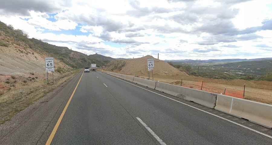
The I-17 corridor is ranked as the 4th most dangerous highway in the nation, with 103 fatalities recorded across 146 miles. The primary driver of these statistics is a convergence of increasing vehicle density and challenging geography. As the population in Arizona grows, a higher volume of drivers—many unfamiliar with the steep vertical gradients and sharp curves of the mountain segments—enters the transit grid. Driving these roads demands constant focus on speed control and braking logistics, especially when transitioning between the desert floor and high-altitude sections.
Infrastructure Upgrades: The Flex Lane Solution
Arizona is implementing significant engineering changes to alleviate the pressure on the I-17. A key component of this plan is the construction of Flex Lanes extending to Sunset Point. These lanes are designed to manage traffic flow dynamically, reducing the severe bottlenecks that occur during peak weekend travel. By increasing the road's capacity and providing alternative lane configurations based on real-time traffic telemetry, the project aims to reduce rear-end collisions and improve emergency response times on these risky roads.
The role of legal support in high-impact collisions
Given the high fatality rates on Arizona's interstates, motorists must be aware of the legal and logistical aftermath of a collision. In complex cases involving mountainous terrain or multi-vehicle impacts, car accident lawyers provide essential assistance in navigating the recovery process. Professional legal counsel ensures that incident telemetry is accurately recorded and that all parties receive the necessary support to manage the financial and structural consequences of a crash on these dangerous highways.
Operational Standards for Arizona Highway Safety
To mitigate the risks associated with the I-17 and I-19, professional driving protocols are mandatory:
- Velocity Control: Adhere strictly to posted limits in mountain sections where curves can exceed safe handling at high speeds.
- Distance Management: Increase following distances during weekend peak hours to account for sudden bottlenecks.
- Vehicle Readiness: Ensure braking and cooling systems are optimized for the thermal and mechanical stress of Arizona's desert-to-mountain transits.
Conclusion: Engineering a Safer Future for Arizona Roads
The classification of the I-17 and I-19 as high-risk corridors serves as a critical data point for all motorists. While infrastructure projects like the new flex lanes offer long-term solutions, immediate safety depends on driver discipline and situational awareness. Driving in Arizona is a test of managing high-speed transit through unforgiving geography. Master the logistics of the road, respect the traffic patterns, and ensure your vehicle is prepared for the technical demands of the Southwest.