The Ultimate Road Trip on the Edgerton Highway in AK
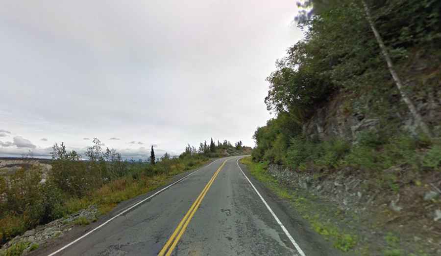
Edgerton Highway is a very scenic paved road located in Alaska’s Big Delta near Chitina in the Copper River Valley, in the USA.

How long is Edgerton Highway?
The road is totally paved and navigable by all passenger vehicles. It’s 53.91km (33.5 miles) long running from Richardson Highway (AK-4) at Pippin Lake to Chitina, on the west shore of the Copper River, at the McCarthy Road (a narrow gravel road that continues another 59 miles to McCarthy, where it dead-ends). The beginning of the road is mostly a 6 miles long straight stretch. This is unusual for Alaska, where highways typically follow a meandering route. The highway is named after the U.S. Army Major General Glen Edgar Edgerton.
Is Edgerton Highway open?
The road, known locally as the Edgerton Cutoff, is open year round but short term closures are common in winter due to dangerous weather conditions. Food, gas, lodging and 2 full-service RV parks are available along the highway.
How long does it take to drive the Edgerton Highway?
Plan about 1 hour to complete the remarkable drive without stops, although allow longer if stops are made to take photos and explore the region it passes through. There are numerous beautiful views along this scenic highway. The road gives access to Liberty Falls. This corner of Alaska is drawing an increasing number of visitors each year.