Road trip guide: Conquering Bull of the Woods Mountain in NM
Bull of the Woods Mountain is a high mountain peak at an elevation of 3.542m (11,620ft) above the sea level, located in Taos County, in the U.S. state of New Mexico. It’s one of the highest roads of New Mexico.
Can I drive to Bull of the Woods Mountain in NM?
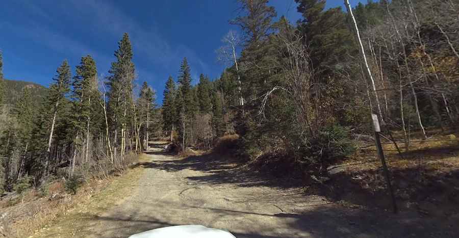
Located to the east of Taos Ski Valley, in the northern part of New Mexico, within the Carson National Forest, the road to the summit is totally unpaved. It’s called Bull of the Woods Road. A 4x4 vehicle is required. The top of the peak is an old mine with great views
Is Bull of the Woods Mountain in NM open?
Set high at the southern end of the Rocky Mountains, in the Sangre de Cristo Range, the road is seasonally closed in winters. It’s open from July through September, weather permitting. The road is closed to private vehicles.
How long is the road to Bull of the Woods Mountain in NM?
Starting at Taos Ski Valley resort, the road to the summit is 5.63km (3.5 miles) long. Over this distance, the elevation gain is 609m (2,000ft). The road is brutally steep and the average gradient is 10.81%. Three sections are called "the Mothers" because of their extreme grade.