All About the Road to Grand Junction FAA Radar Site in CO
Located in Garfield County, in the U.S. state of Colorado, Grand Junction FAA Radar Site sits at an elevation of 2.747m (9,012ft) above the sea level.
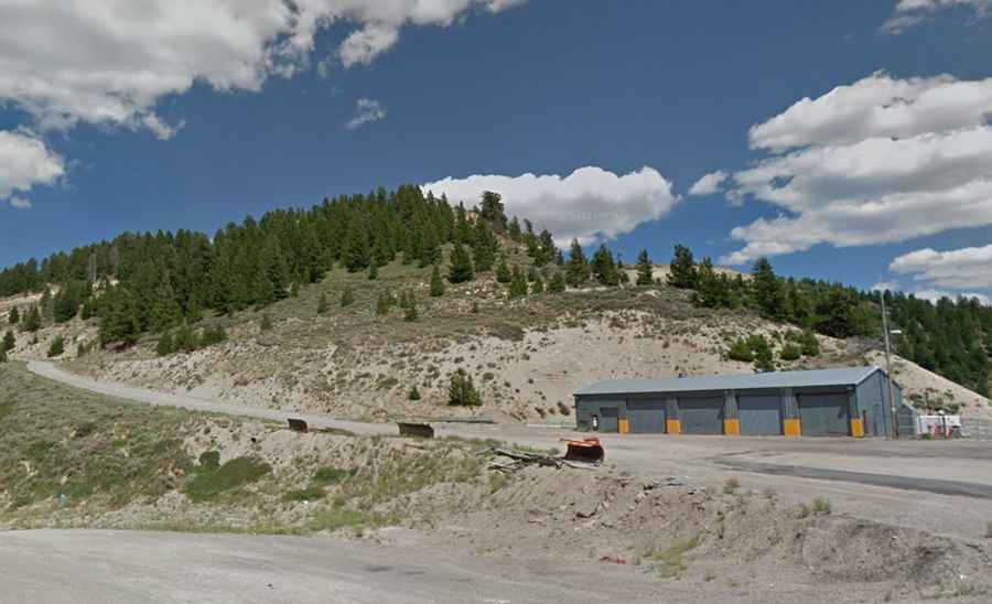
Is the road to Grand Junction FAA Radar Site unpaved?
Set high in Colorado's Western Slope region, the road to the FAA radar site is totally unpaved but navigable by most passenger vehicles and features 4 sharp hairpin turns. The site is used to identify and track military and civilian aircraft movements. Always check the weather forecast before you start your journey: adverse conditions are common.
How long is the road to Grand Junction FAA Radar Site?
Located to the north of Grand Junction, the road is 8.69km (5.4 miles) long starting at Douglas Pass. Over this distance, the elevation gain is 313 m. The average gradient is 3.6% but the first ramps hit a 10% of maximum gradient. The road was constructed by November 1962.