An Unforgettable Drive to Blewett Pass in Washington
Blewett Pass is a high mountain pass at an elevation of 1.254m (4,114ft) above sea level, located in the U.S. state of Washington.
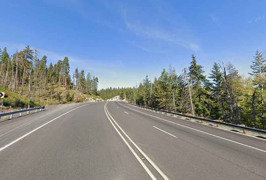
Where is Blewett Pass?
The pass, formerly known as Swauk Pass, is located on the boundary between Kittitas and Chelan counties, in the central part of Washington State, within the Wenatchee National Forest.
Why is it called Blewett Pass?
The pass is named after Edward Blewett, a Seattle mining promoter of the 1880s.
Is Blewett Pass paved?
The road to the summit is totally paved in very good condition. It’s called US Highway 97 (US-97).
How long is Blewett Pass?
The road is 78.85 km (49.0 miles) long running south-north from Ellensburg (the county seat of Kittitas County) to Peshastin (in Chelan County).
How long does it take to drive Blewett Pass?
Plan about 55 min to complete the drive without any stop. It is one of the most beautiful drives in Washington due to the heavily forested surrounding area.
Is Blewett Pass open?
Set high in the Wenatchee Mountains of the Cascade Range, access to the pass is typically open year-round, but winter weather may cause restrictions and closures due to dangerous weather conditions.