Road trip guide: Conquering Old La Veta Pass in CO
La Veta Pass is a high mountain pass at an elevation of 2.864m (9,396ft) above the sea level, located on the boundary of Costilla and Huerfano counties, in the US state of Colorado.
Can you drive through La Veta Pass in CO?
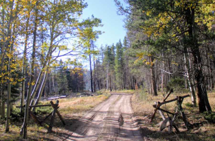
The road to the summit, also known as Old La Veta Pass, is totally unpaved. It’s called County Road 443. High-clearance vehicle required. The road is lightly traveled.
How long is La Veta Pass in CO?
Tucked away on the south central part of Colorado, to the south of the modern North La Veta Pass, the pass is 9.01km (5.6 miles) long with the start and end off of Highway 160. In 1877 was built a narrow gauge railroad through the pass, later a wagon road and converted into highway in 1921-22.
Is La Veta Pass in CO open?
Set high in the Sangre de Cristo Mountains, the road is not plowed in winters. The Uptop Historic District is a ghost town located on top of the pass.
Pic: Steve Porter