Where are the best roads of Capitol Reef National Park?
Located in south-central Utah, Capitol Reef National Park is defined by the Waterpocket Fold—a 100-mile long warp in the Earth's crust. This remote landscape features a cold semi-arid climate and a complex network of roads that range from scenic paved bypasses to high-clearance dirt tracks. For the off-road enthusiast and the professional traveler, navigating Capitol Reef is an exercise in desert logistics, where seasonal weather volatility and rugged terrain demand precise vehicle preparation.
| Road facts: Capitol Reef National Park | |
|---|---|
| Location | South-central Utah, USA |
| Best Time to Visit | Autumn (Peak stability) & Spring |
| Primary Hazards | Flash floods, extreme heat, and rocky washouts |
| Technical Requirements | High-clearance 4WD (for backcountry loops) |
Which are the most iconic drives in Capitol Reef?
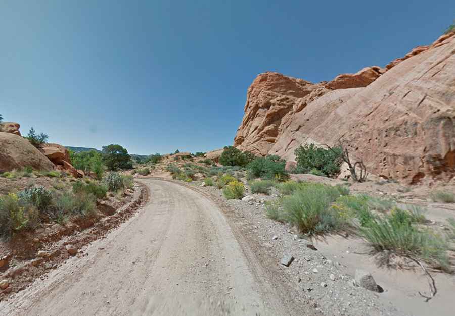
The park offers a diverse hierarchy of routes, each presenting unique technical challenges. The Scenic Drive is the most accessible, providing 12.7 km of paved access to the park’s inner canyons. However, for those seeking a more rigorous experience, the Notom-Bullfrog Road runs parallel to the Waterpocket Fold for 52.3 km, transitioning from pavement to rugged unpaved surfaces that require constant monitoring of road traction.
What makes the Cathedral Valley Loop a high-risk route?
The Cathedral Valley Loop is a 92.7 km (57.6 miles) dirt track that traverses some of the most remote sections of the park. This route is notorious for the Fremont River ford, where vehicles must cross active water. Depending on seasonal runoff, the river depth can fluctuate rapidly, making it impassable for standard vehicles. High-clearance 4WD is a non-negotiable standard for this loop, as deep sand and bentonite clay can become impassable when wet.
Is the Burr Trail Road suitable for all vehicles?
Connecting Capitol Reef to the Grand Staircase-Escalante, the Burr Trail Road is a 106 km journey through massive canyons and steep switchbacks. While the western portion is paved, the segments within the park boundary remain unpaved and technically demanding. The switchbacks involve dramatic elevation changes over short distances, requiring a disciplined approach to braking and gear management to avoid mechanical stress in the desert heat.
How dangerous is the South Draw Road for off-roaders?
For the highly experienced off-roader, South Draw Road is a 13.03 km rough dirt track that provides a technical climb from the park’s scenic drive up to the slopes of Boulder Mountain. This is a high-clearance 4WD only route, featuring large boulders, deep ruts, and multiple stream crossings. It is frequently closed during winter and spring due to snow and mud, making it one of the most unpredictable and "breath-taking" segments for vertical navigation in Utah.
Conclusion: Operational Readiness in Red Rock Country
Capitol Reef is a park of extreme contrasts, where the beauty of the landscape is matched by its logistical complexity. Whether you are sticking to the paved Scenic Drive or venturing into the deep sand of Cathedral Valley, situational awareness is your best tool. Always check the weather forecast at the Torrey visitor center before departing; a dry wash can transform into a deadly flash flood in minutes. In this remote area of Utah, professional preparation is the key to a successful expedition.