Take the Curvy Kingsbury Grade Road and Discover Daggett Pass in NV
Daggett Pass is a high mountain pass at an elevation of 2.239m (7,345ft) above the sea level, located in northwestern Douglas County, in the U.S. state of Nevada.
Is the road to Daggett Pass paved?
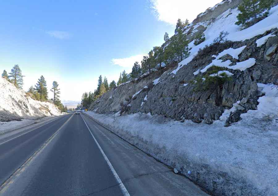
The curvy road to the summit, also known as Daggett Summit, is totally paved. It’s called NV-207 (Kingsbury Grade Road).
How long is Daggett Pass in Nevada?
Located near the California border, in the northwestern part of the U.S. state of Nevada, the pass is 17.70km (11.0 miles) long running west-east from Stateline, on the southeastern shore of Lake Tahoe, to Mottsville, on the western edge of the Carson Valley.
What is the grade on Kingsbury Grade?
The road is pretty steep and hits an 8.4% of maximum gradient through some of the ramps. The route has sweeping curves and some technical turns.
How long does it take to drive Kingsbury Grade?
Plan about 25 minutes to complete the remarkable drive without stops. The drive offers expansive panoramic views of the Carson Valley, the Sierra Nevada mountains, Lake Tahoe and the Humboldt-Toiyabe National Forest.
Is Daggett Pass in Nevada open?
Set high in Carson Mountain Range of the Sierra Nevadas, access to the pass is typically open all year round, but winter weather may cause restrictions and closures due to dangerous weather conditions.
When was Kingsbury Grade in Nevada built?
The first road through the pass was built in 1919. It was fully paved in 1957. The pass is named after Charles Daggett, Nevada's First Doctor, born in Vermont in 1806.