Take the Scenic Route and Discover Naylor Lake in CO
Naylor Lake is a high mountain lake at an elevation of 3.476m (11,404ft) above the sea level, located in southwestern Clear Creek County, in the U.S. state of Colorado.
Can you drive to Naylor Lake in CO?
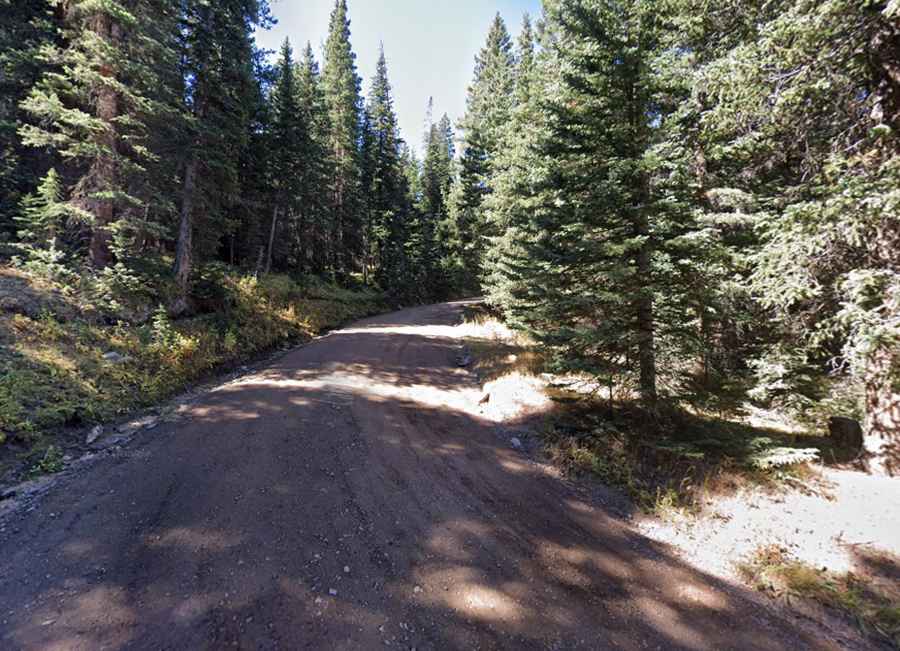
Set high in the Rocky Mountains of central Colorado, in the Arapaho National Forest, the road to the lake is totally unpaved, pretty rough and rugged. It’s called Naylor Lake Road (381). It’s navigable by most of passenger vehicles to a parking lot (the starting point of Silver Dollar Lake Trailhead). The parking area is not very large so on weekends you may be forced back down to the highway parking. If you continue on #381 a little farther, you'll come to a gate and private property warnings. The lake is on private property. You may look, but please do not trespass. Do not attempt to drive in. Beyond the parking, 4x4 vehicles only.
How long is the road to Naylor Lake in CO?
Starting from the paved Guanella Pass, the road is 1.77km (1.1 miles) long. If you hope to avoid the crowds, consider adventuring up to the lake during the weekdays. The road is seasonally closed from late October through late June or early July (depending on snow).