How to Prepare for Safe Hiking in Yosemite National Park
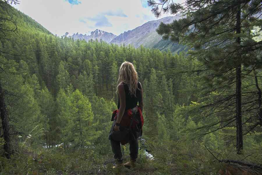
Navigating the 750 miles of trails in Yosemite National Park and the surrounding Sierra National Forest requires a rigorous logistical approach to safety. Since 1972, the park has recorded 13 cases of unresolved disappearances, highlighting the technical risks of the high-altitude topography and volatile weather systems. Preventing Search and Rescue (SAR) incidents depends on a combination of precise route-finding, redundant communication systems, and a professional understanding of the environmental friction and thermal challenges of the wilderness.
| Safety Logistics: Wilderness Operations | |
|---|---|
| Critical Terrain | Yosemite High Sierra / Sierra National Forest |
| Navigation Protocols | Redundant GPS + Topographic Map + Altimeter |
| Communication | Satellite Communicator (PLB/InReach) |
| Case Study | 13 unresolved missing person cases since 1972 |
How to coordinate route logistics with Park Rangers?
Before initiating any transit through the Sierra Nevada backcountry, it is a technical requirement to consult with the park's Ranger Office. Rangers provide real-time data on trail erosion, water source availability, and active wildlife hazards. Logistically, hikers must submit a detailed "trip plan" including coordinates for planned rest stops and estimated time of arrival (ETA) at each sector. This data is the primary tool used by SAR teams to establish a search radius in the event of a missing person report. Calculating the rate of movement based on elevation gain is essential to determine if overnight survival equipment is a mandatory weight requirement for the mission.
Communication logistics and distress signal protocols
Cellular coverage in Yosemite is non-existent once off the main valley floor. Logistically, relying on a mobile phone for emergency signaling is a failure in safety protocol. A satellite communicator or a Personal Locator Beacon (PLB) is the only reliable method for transmitting a distress signal from deep wilderness sectors. Additionally, manual signaling tools—including handheld flares, whistles, and high-visibility flash tape—must be part of the baseline gear. In the event of a GPS failure, an altimeter combined with a topographic map allows for terrain association to maintain directional orientation on poorly defined trails.
Essential gear logistics for high-altitude survival
Preparation for the Yosemite High Sierra requires a specialized inventory designed for rapid thermal shifts and technical terrain. The logistical list must include:
- Navigation: GPS device with extra lithium batteries (cold-resistant) and a physical compass.
- Hydration: Water purification systems capable of filtering glacial silt.
- Thermal Control: Moisture-wicking layers and a high-altitude bivy or tarp for emergency shelter.
- Illumination: Headlamps with a minimum of 300 lumens and redundant power sources.
- Medical: First aid kits containing trauma bandages and high-altitude specific medications.
Managing the weight-to-utility ratio of this gear is critical for maintaining the physical stamina required to complete 15+ mile sectors safely.
Technical hazards and the "Turn-Back" protocol
The high-altitude environment of Yosemite presents objective hazards including rockfalls, rapid river crossings, and sudden electrical storms. The "Turn-Back" protocol is a mandatory safety logic: if environmental conditions degrade or a member of the party shows signs of fatigue or injury, the route must be abandoned immediately. Persistence in the face of logistical failures—such as running low on water or losing light—is the leading cause of the 13 documented disappearances. Maintaining a high margin of safety and adjusting expectations based on the actual technical difficulty of the terrain is the only way to ensure a successful return from the Sierra backcountry.