Driving the historic Lolo Motorway in ID
The historic Lolo Motorway is the name of a very scenic drive travelling through central Idaho, in the United States.
Is Lolo Motorway in ID unpaved?
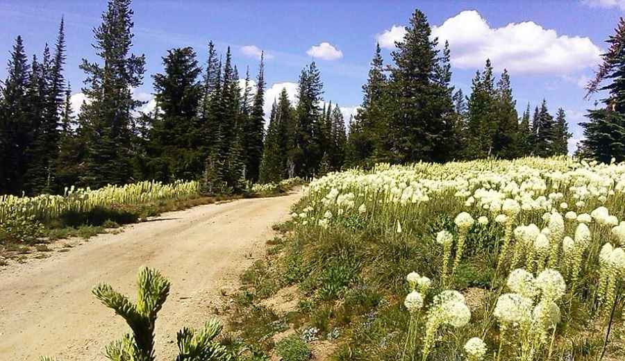
The Lolo Motorway (Forest Road 500) is mostly unpaved. It’s a single-lane dirt road that demands a high degree of self-sufficiency and the right vehicle. It’s not an easy drive. This road is very rough, with narrow sections, and travels through remote country. It is getting some badly-needed repairs.
Do I need a 4x4 to drive the Lolo Motorway?
Tucked away in the Nez Perce-Clearwater National Forest, the road is suitable for high clearance vehicles only. RVs or trailers are not recommended.
Is the Lolo Motorway remote?
Located in Idaho County, in the US state of Idaho, the drive is pretty remote, with no cell phone service in parts. The motorway has no gas stations, stores, developed water sources, or other services.
When was the Lolo Motorway built?
The road was built by the Civilian Conservation Corps in the 1930s.
How long is the Lolo Motorway?
The Lolo Motorway (Forest Road 500) is 149.5km (92.9 miles) long. To drive the road without stopping will take most people between 6 and 8 hours, but plan to spend some time and take in the scenery and history. The road follows the historic trail the Nez Perce and other tribes used to cross the Bitterroot Mountains, and the path taken by the Lewis and Clark Expedition.
Is the Lolo Motorway open?
Set high in the Bitterroot Range of the northern Rocky Mountains, the road tops out by Indian Postoffice at 2.138m (7,014ft) above the sea level. Seasonal conditions may prevent through travel. This high-elevation route is generally open and free of snow from July through September, but conditions vary annually.
Pic: Gustavo Ramírez