Road trip guide: Conquering Blue Ridge in Siskiyou County
Blue Ridge is a high mountain peak at an elevation of 1.814m (5,951ft) above sea level, located in Siskiyou County in the U.S. state of California.
Where is Blue Ridge?
The peak is located east of Forks of Salmon, in the northernmost part of California, within the Klamath National Forest.
Why is there a road to Blue Ridge?
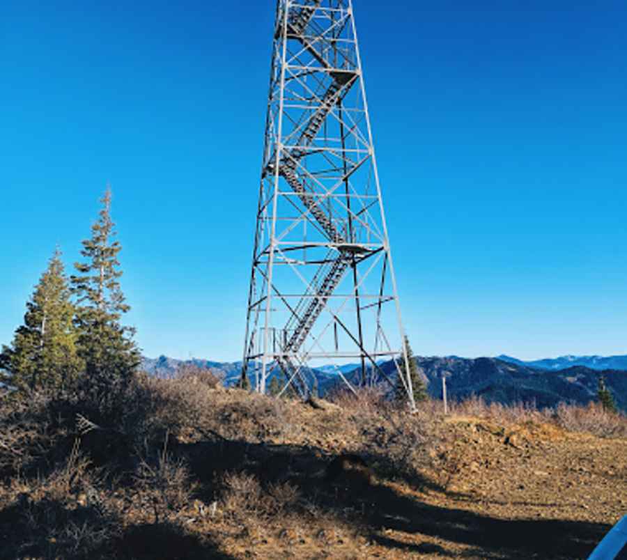
At the summit there’s a lookout tower. Built in 1934, the Blue Ridge Lookout Tower was used during the WWII as an Aircraft Warning Station and is still staffed each year for fire detection.
Is the road to Blue Ridge unpaved?
The road to the summit is totally unpaved. A 4x4 vehicle is required. It features very steep sections, hitting a 17% of maximum gradient through some of the ramps.
How long is the road to Blue Ridge?
Starting from Sawyers Bar, on Sawyers Bar Road, the ascent is 15.2km (9.4 miles) long. Over this distance the elevation gain is 1.153 meters. The average gradient is 7.58%.
Pic: Jason H.