How To Have The Ultimate Road Trip To Methodist Mountain in Colorado
Methodist Mountain is a high mountain peak at an elevation of 3.569m (11,709ft) above sea level, located in the U.S. state of Colorado.
Where is Methodist Mountain?
The peak is located on the boundary between Chaffee and Saguache counties, in the central part of Colorado. The summit hosts communication facilities and towers.
Is the road to Methodist Mountain in CO unpaved?
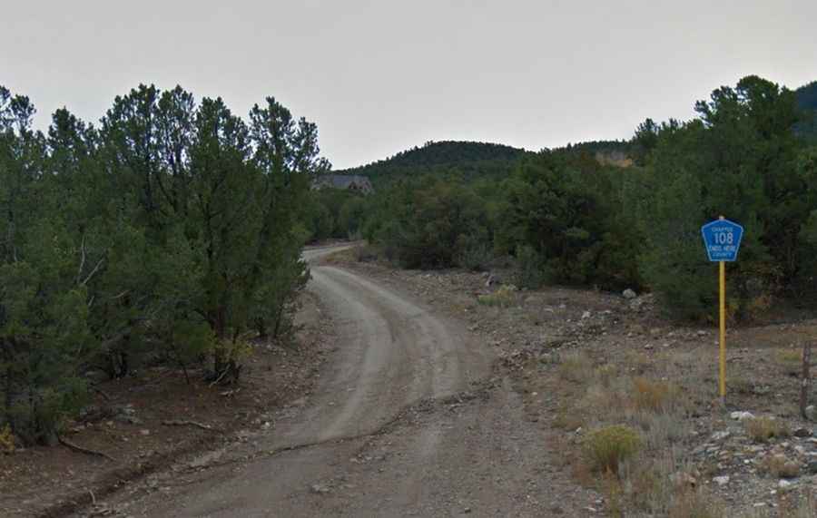
The road to the summit is totally unpaved. It’s rough, dirt and rock with some washboard sections. It’s called Forest Road 108A (Methodist Mountain Road) and starts from Salida.
Is the road to Methodist Mountain in CO difficult?
The road is not difficult but it’s too rough for passenger cars. Attempting it in anything but a High-Clearance, preferably 4-wheel drive vehicle is a recipe for disaster. There are not too many places to back up and reverse.
Is the road to Methodist Mountain in CO open?
Set high in the northern Sangre de Cristo Range of the Rocky Mountains of North America in the Salida area, this road is usually impassable from late October through late June or early July (depending on snow). Winds are generally high.