Take the Scenic Route and Discover Stevens Pass in WA
Stevens Pass is a high mountain pass at an elevation of 1.243m (4,078ft) above the sea level, located on the boundary of King and Chelan counties in the U.S. state of Washington.
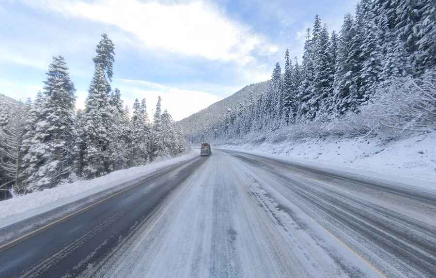
Can I drive through Stevens Pass?
Set high on the crest of the Cascade Range, the road to the summit is totally paved. It’s called Highway 2 (Stevens Pass Highway). Flanked by extremely mountainous country, and running through the Mt. Baker-Snoqualmie and the Wenatchee National Forests, the area is prone to avalanches. The pass is named after John Frank Stevens, the first non-indigenous person to discover it.
How long does it take to drive over Stevens Pass?
The pass is 58.25km (36.2 miles) long, running west-east from Skykomish (in King County) to Coles Corner (in Chelan County). To drive the pass without stopping will take most people between 45 and 60 minutes. The road is open year-round.