Is it possible to drive the unpaved Navy Road in Santa Cruz Island?
Navy Road is a rugged mountain track located on Santa Cruz Island, the largest of the Channel Islands in the US state of California.
How long is the Navy Road?
Starting from Prisoners Harbor, the road runs for 11.5 km through the island's interior. The route climbs from the coast to the high ridges, providing a link for the island's conservation and research facilities.
Can I drive a private vehicle on Navy Road?
No. Public motor vehicles are strictly prohibited on Santa Cruz Island. The Navy Road is used daily by authorized 4x4 vehicles belonging to the National Park Service, The Nature Conservancy, and researchers. Visitors are restricted to exploring the territory on foot or by kayak. Access to the island's interior via this road requires specific permits and planning, as it is a remote wilderness area with no public services or fuel points.
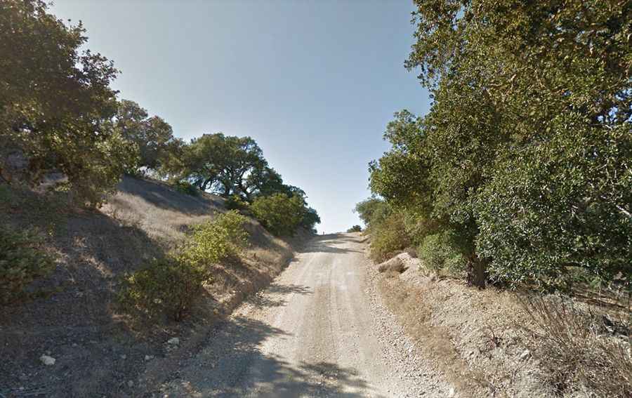
Is Navy Road unpaved?
The road surface is rugged dirt and rock that becomes extremely slippery after rain. The track is narrow, with steep canyons on one side and vertical rock faces on the other. The track is very steep, hitting maximum gradients of 22% on several ramps. While there are no poisonous snakes, drivers and hikers must account for thick patches of poison oak, cholla cactus, and scorpions that often encroach on the edges of the track.
What vehicle is required for Navy Road?
Authorized transit on Navy Road requires a high-clearance 4x4 vehicle with low-range capabilities. The 22% ramps are too steep for standard AWD systems, which can easily overheat when trying to overcome the vertical gain.