Road trip guide: Conquering Crown Point Road in CO
Crown Point Road is the name of a very scenic high mountain drive located in Larimer County, in the U.S. state of Colorado.
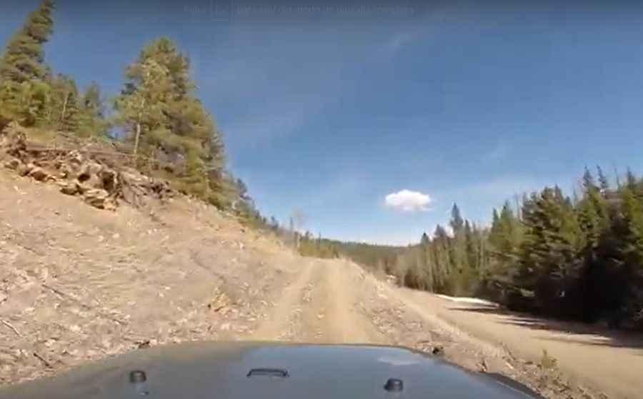
Is Crown Point Road unpaved?
Set high in the heart of the Comanche Peak Wilderness, within the Roosevelt National Forest, Crown Point Road (FSR139) is mostly dirt, with some gravel sections. The road is pretty wide. Remnants of a 1943 World War II-era B-17 crash can be found nearby.
Is Crown Point Road open?
The road tops out at 3.243m (10,639ft) above the sea level. To drive the road without stopping will take most people between 1.5 and 2 hours. The road is not plowed in winters and usually impassable from late October through late June or early July (depending on snow).
How long is Crown Point Road?
The road is 29.29km (18.2 miles) long, starting from Pingree Park Road (County Road 63E). It ends on a parking lot, the starting point to the 7-mile Zimmerman Trail (#940).
Pic&video: Justin King