How to drive the unpaved road to Nolina Peak in California?
Nolina Peak is a mountain peak at an elevation of 1.496m (4,908ft) above sea level, located in San Bernardino County, in the U.S. state of California.
Where is Nolina Peak?
The peak is located north of Palm Springs in the southern part of California. Cell phone service is unreliable.
Why is there a road to Nolina Peak?
The road was built to reach the communication towers and facilities at the summit.
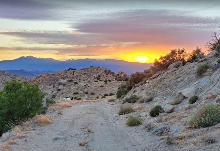
Is the road to Nolina Peak unpaved?
The road to the summit is totally unpaved. A 4WD high clearance vehicle is recommended to complete the drive.
How long is the road to Nolina Peak?
The road to the summit is very steep, hitting an 11% of maximum gradient through some of the ramps. Starting at Covington Flat Road, the ascent is 2.89km (1.8 miles) long. Over this distance the elevation gain is 225 meters. The average gradient is 7.78%.
When is the best time to drive to Nolina Peak?
Set high in the Joshua Tree National Park, rain or snow will make the drive difficult. It is advised not to recreate here in the peak summer months when the temperatures can be dangerously hot.
Pic: BlackMagic_SuperTaco