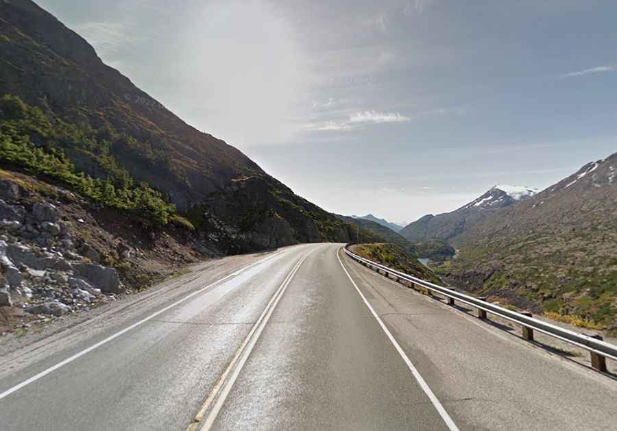
Driving the Klondike Highway to White Pass on the Alaska-Canada border
White Pass is a mountain pass at an elevation of 1,010m (3,313ft) above sea level on the border between Alaska (USA) and British Columbia (Canada). The pass is a major transit point on the Klondike Highway (Route 98), connecting the port of Skagway with the Canadian interior.
| Road facts: White Pass | |
|---|---|
| Location | Alaska (USA) - British Columbia (Canada) |
| Elevation | 1,010 m (3,313 ft) |
| Max Gradient | 11% |
| Length | 34.4 km (21.37 miles) |
How long is the road to White Pass?
The climb starts at sea level in Skagway and runs for 34.4 km to the summit. The road is fully paved but features sustained gradients of 11%. This vertical gain of over 1,000 meters in a short distance puts extreme load on engines during the ascent. On the descent toward Alaska, heavy vehicles and trailers must use low gears to prevent brake fade, as the 11% ramps will overheat standard braking systems before reaching the coast.
What are the driving hazards on White Pass?
The main physical hazard is the sudden loss of visibility. Dense fog and blowing snow can reduce visibility to less than five meters in seconds, even during summer months. The road crosses the Captain William Moore Bridge, a suspension structure built over an active fault line. The route is narrow in several sections with steep unprotected drops. During the summer, high-profile cruise ship buses dominate the lanes, often crossing the center line on tight bends.
How does the border crossing work at White Pass?
The international boundary is located at the summit (1,010m), but the Canadian Customs station is situated 11 km further inland at Fraser, BC. All drivers must stop at the stations; failing to do so is a federal offense. The weather at the summit is frequently sub-zero with high winds that can rock high-profile vans and RVs. It is mandatory to carry proper identification and vehicle documents for the transit between Alaska and British Columbia.
Is the Klondike Highway to White Pass open in winter?
The road remains open year-round, but conditions are extreme. Snow clearing is constant, yet the pass can be closed for hours during heavy blizzards or high-wind events. Ice often forms on the asphalt due to the humid coastal air hitting the freezing alpine temperatures. Checking the summit webcams in Skagway is necessary before departure, as clouds often sit directly on the road surface, making the 34.4 km drive a blind crawl.