The Ultimate Guide to Traveling Benton Crossing Road
Benton Crossing Road is the name of a very scenic drive with vast mountain views, located in Mono County, in the U.S. state of California.
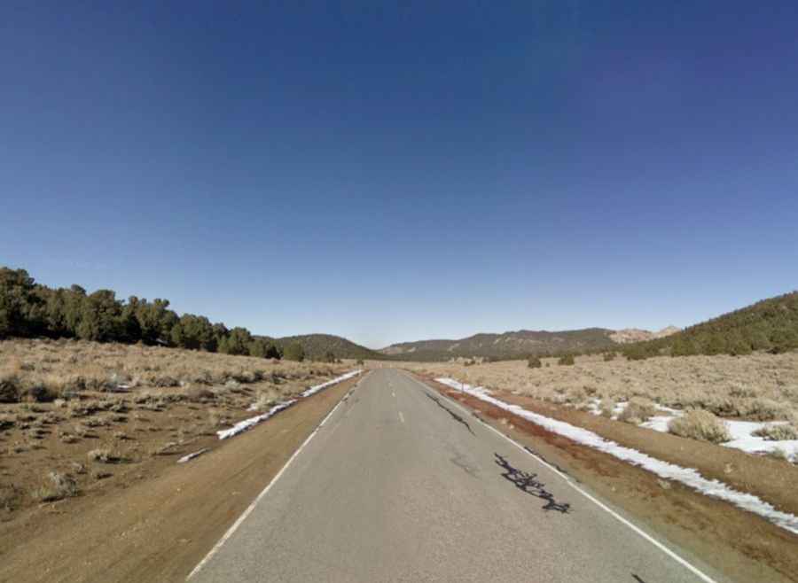
Is Benton Crossing Road in California paved?
Tucked away in the east central portion of California, Benton Crossing Road, also known as Benton Pass Road, is totally paved, with a smooth pavement. This road receives minimal vehicle traffic. There are no services on the road.
How long is Benton Crossing Road?
Set high in Inyo National Forest, the road is 48.76km (30.3 miles) long, running from Whitmore Hot Springs to Benton. The road is very steep, hitting a 9% of maximum gradient through some of the ramps.
Is Benton Crossing Road in California open?
Set high in the Eastern Sierra, the road climbs up to Waterson Divide at an elevation of 2.301m (7,549ft) above the sea level and Wildrose Summit, at 2.337m (7,667ft) above the sea level. The road is typically open all year round, but winter weather may cause restrictions and closures due to dangerous weather conditions.
Is Benton Crossing Road in California worth it?
To drive the road without stopping will take most people between 45 and 60 minutes. The drive offers spectacular views of the Sierra peaks and White Mountains. There are plenty of places to stop and snap stunning photos. It was also the setting for some of the scenes of the movie Shooter.