Top Hazardous Routes in Las Vegas and How to Stay Safe
Traffic accidents and fatalities in the Las Vegas area, in the US state of Nevada, are statistically high and on the rise. The driving risk in the region is unique, compounded by a mix of factors: high-volume city traffic, winding mountain passes, unexpected wildlife hazards, and long stretches of remote, unlit highway. These conditions mean drivers must be aware of the considerable risk of severe car accidents.
The most effective way to avoid incidents in this area is to drive defensively, assuming other drivers are intoxicated, distracted (on phones), or rushing. A severe traffic accident can occur anywhere, but the following roads are statistically more dangerous. Drivers must take special care to prioritize safety on these routes.
The Las Vegas Strip
- Route: Las Vegas Boulevard (2.5 mi central section)
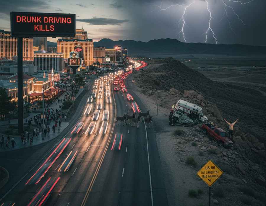
- Danger: The Las Vegas Strip is notorious for impaired driving. Statistics show that almost 42% of traffic accidents on this road are caused by drunk drivers. High pedestrian traffic and congestion add significant risk.
- Safety Tip: Drive defensively and assume that many drivers around you are distracted or intoxicated.
I-15 (Las Vegas to Southern California)
- Route: Interstate 15, specifically the 181 mi section between Las Vegas and Los Angeles.
- Danger: This high-volume corridor handles millions of travelers rushing to or from Southern California. This stretch has previously been cited as one of Nevada’s most deadly roads. Reports over the past 15 years show hundreds of reported accidents due to high speeds and driver fatigue.
Red Rock Canyon Loop Road
- Route: A 12.4mi scenic, one-way road within a National Conservation Area.
- Danger: Red Rock Canyon Loop Road features sharp turns, steep gradients, and cliff edges, often lacking guard rails. It is heavily used by both vehicles and cyclists/motorcyclists. Wildlife (turtles, burro, lizards) frequently cross the pavement. Extreme summer heat and frigid winter winds pose risks to visitors.
Nevada State Route 582 (Boulder Highway)
- Route: Boulder Highway, connecting Downtown Las Vegas with Henderson.
- Danger: This route is known for high traffic accidents, particularly at intersections. Approximately 10 percent of all pedestrian fatalities in Las Vegas occur along the Boulder Highway.
- High-Risk Intersections: Nellis Boulevard, Flamingo Road, and the intersection of Boulder Highway and Sun Valley.
U.S Highway 93 (Las Vegas to Phoenix)
- Danger: The primary danger of the US-93 lies in its remoteness. This highway has one of the highest waiting times for emergency response services in the region.
- Safety Tip: Bring plenty of water and stay alert. Avoid speeding, as a crash could result in an hour or more wait for help.
U.S. Highway 50
- Route: 250mi stretch across mountainous foothills, known as "The Loneliest Road in America."
- Danger: Extreme isolation. The road has hardly any cell service, services, or gas stations. Transportation experts caution drivers to be confident in their survival skills before attempting this route.
- Safety Tip: Drivers must carry necessary precautions such as water, food, and extra fuel.
Nevada State Route 431 (Mount Rose Highway)
- Route: A 25mi paved route that climbs to over 8,000ft above sea level.
- Danger: High risk, especially in winter. The summit can receive up to 400 inches of snow, and dozens of accidents occur each winter, often resulting in fatalities due to high drop-offs. Summer driving is also challenging due to hairpin curves and heavy traffic.
- Safety Tip: In winter, drivers must carry snow chains and be prepared for severe weather in Mount Rose Highway.
Virgin River Gorge
- Route: Interstate 15 passage through a canyon on the Arizona border.
- Danger: The narrow canyon road frequently undergoes construction issues. It is also extremely susceptible to sudden, severe weather. Heavy snow and ice storms can force closures and strand hundreds of motorists for extended periods.