Survival guide to the 3 most dangerous highways in the USA
While the United States is known for its extensive interstate system, specific routes like the I-26, Highway 2, and the I-95 present extreme risks that defy national safety averages. These are not just roads with high traffic; they are high-fatality corridors where specific engineering flaws and geographical isolation create a zero-margin-for-error environment for any driver.
| High-Fatality Route Metrics | |
|---|---|
| I-26 (South Carolina) | Steep embankments and zero protective barriers. |
| Highway 2 (Montana) | Extreme isolation with 80+ min emergency response times. |
| I-95 (East Coast) | High-speed congestion with non-existent shoulders. |
Why is Interstate 26 in South Carolina a death trap?
The danger on the I-26 isn't the pavement quality, but the unforgiving terrain surrounding it. Large sections of this highway lack protective fencing or guardrails, despite being bordered by deep, steep-sided ditches and ravines. If a vehicle hydroplanes during a sudden Southern downpour or suffers a steering failure, there is nothing to stop it from rolling down the embankments. On the I-26, a minor mechanical glitch often ends in a high-impact rollover because the infrastructure offers no "catchment" area for recovery. When driving this stretch, maintaining tire pressure and checking tread depth is critical to avoid losing grip in a zone with zero safety buffers.
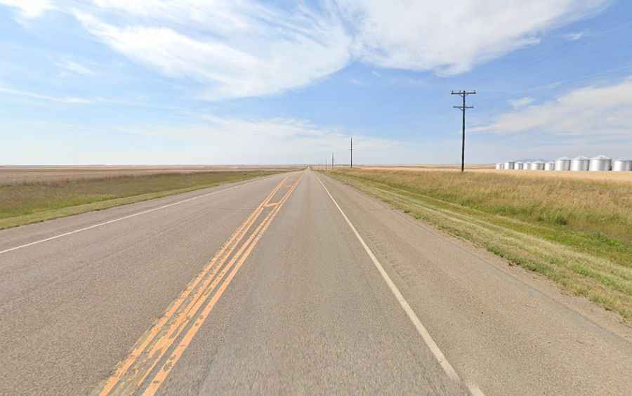
Montana’s Highway 2: The logistics of survival in isolation
Highway 2 in Montana is a test of vehicle reliability and driver preparation. Crossing the vast northern plains into the mountain passes, the primary hazard here is the absolute lack of support. In many stretches, you are over 80 minutes away from the nearest emergency response unit. A mechanical breakdown or a wildlife strike (common with deer and elk) isn't just an inconvenience; it’s a life-threatening situation due to the distances involved. Drivers must be self-sufficient, carrying cold-weather gear and emergency signaling devices, as cell service is intermittent. On Highway 2, the road is long, the speeds are high, and the help is very, very far away.
The I-95 gauntlet: High-speed chaos and narrow shoulders
The I-95 is the main north-south artery of the East Coast, but its design in several states is a logistical nightmare. In many high-traffic zones, the shoulder width is reduced to less than a meter. This means that an emergency stop for a flat tire or an engine overheat forces the vehicle to remain partially in the active lane, surrounded by heavy commercial trucks moving at 70+ mph. The risk of a "secondary collision" is massive. To drive the I-95 safely, you must maintain a "defensive bubble," anticipating the sudden braking of long-haul haulers and avoiding the "sandwich" position between two heavy rigs in sections where there is literally no place to pull over.
How to prepare for America's most high-risk corridors?
Driving these three roads requires more than just following the speed limit. On the I-26, focus on traction and wet-weather stability. On Montana’s Highway 2, your priority is mechanical sympathy and carrying enough supplies to survive a long wait. On the I-95, situational awareness is your primary tool to avoid being trapped in a high-speed pileup. The common thread across these routes is that they do not forgive human error or mechanical neglect. Treat them like an expedition, not a commute, and ensure your vehicle is audited for the specific challenges of each terrain.