Take An Unforgettable Drive to Richland Balsam in NC
Richland Balsam is a high mountain pass at an elevation of 1.845m (6,053 feet) above the sea level, located on the boundary between Haywood and Jackson counties in the far southwest of the U.S. state of North Carolina.
Can you drive to Richland Balsam in NC?
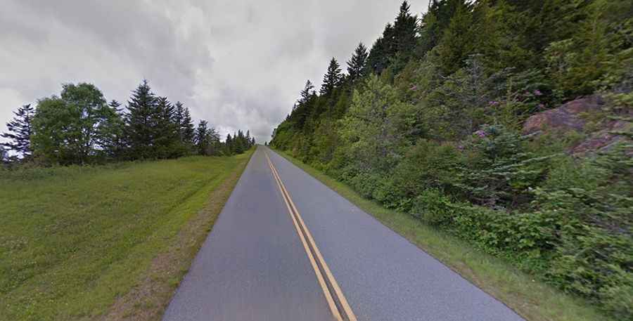
Set high in the Great Balsam Mountains, part of the Appalachian Mountains, the road to the summit is totally paved. It’s called Blue Ridge Parkway. The summit is the highest point on the parkway, at milepost 431. The overlook consists of a large parking area offering wide, panoramic views over a stand of fragrant balsam fir. At the parking there’s also a large sign welcoming visitors to the “Highest Elevation on the Blue Ridge Parkway Motor Road”, signifying the relevance of this spot.
How long is Richland Balsam in NC?
Tucked away in the Nantahala National Forest, the pass is 30.57km (19 miles) long, running from Balsam (in Jackson County) to Beech Gap, on NC-215 road. The road to the summit is steep, hitting a 7% of maximum gradient through some of the ramps.
Is Richland Balsam in NC open?
Access to the pass is typically open all year round, with the occasional closure in winters due to dangerous weather conditions. It is frequently closed for long periods during the winter season.