Take the Scenic Route and Discover Morgan Summit in CA
Morgan Summit is a high mountain pass at an elevation of 1.757m (5,764ft) above the sea level located in Tehama County, in the northern part of the U.S. state of California.
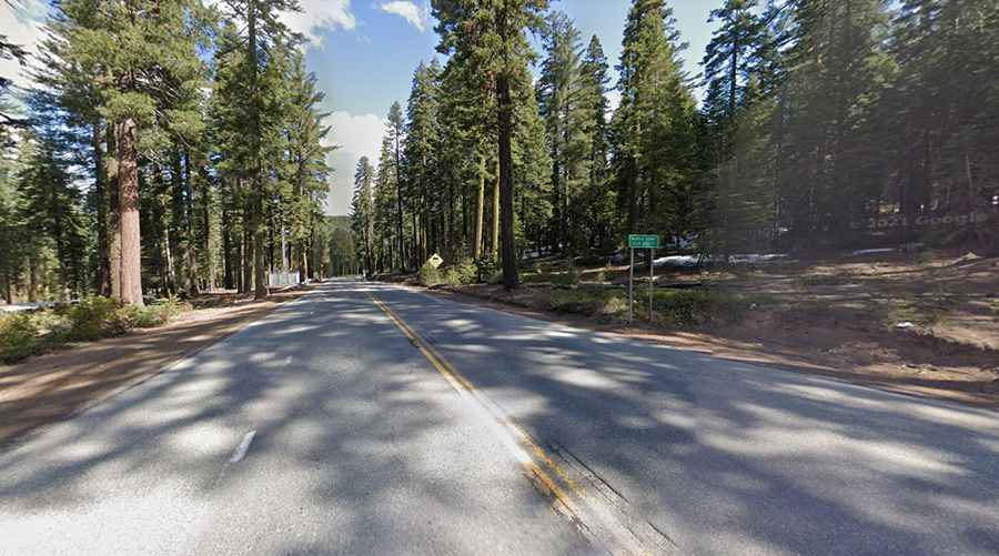
Set high in the Eastern Sierra Nevada Mountains, the road to the summit is totally paved. It’s a road shared by Highway 89 and the infamous California Route 36. It’s considered by some to be among the best roads in California, with 140 miles of twists and turns. It’s known as a heaven of twists and turns which demands 100% focus. Watch out for trucks with long trailers. Not recommended at night or in bad weather or just after a heavy rain. There are sheer drop offs with no guard rails and blind curves. Very limited (if any) cell phone service.
The pass is 46.83km (29.1 miles) long, running west-east from Mineral (in Tehama County) to Chester (in Plumas County on Lake Almanor). It's the highest point on California Route 36. Access to the pass is typically open all year round, with the occasional closure in winters due to dangerous weather conditions.