Mingus Summit in Arizona: a road with several dizzying hairpin bends
Mingus Summit is a high mountain pass at an elevation of 2.146m (7,040ft) above sea level, located in Yavapai County, in the U.S. state of Arizona.
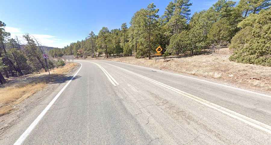
Where is Mingus Summit?
The pass is located in the central part of Arizona, within the Prescott National Forest. The summit hosts a rest area / picnic site. Parking is limited.
Is Mingus Summit paved?
The road to the summit is totally paved. It’s called Arizona Highway 89A. The winding road is curvy and hairpinned. It is very steep, hitting an 11% of maximum gradient through some of the ramps.
How long is the road to Mingus Summit in AZ?
The pass is 31.70km (19.7 miles) long, running from Prescott Valley to Jerome.
Is the road to Mingus Summit in AZ open?
Set high in the Black Hills mountain range, the road is usually open all year-round. It’s closed only during the heaviest snows of winter. It has relatively cool temperatures in the summer.
How to drive to Mingus Mountain?
East of the pass, a minor gravel road (Forest Road 104) climbs up to Mingus Mountain, one of the premier hang-gliding destinations in the Western United States, at 2.389m (7,837ft) above sea level. The summit boasts sweeping views of the Verde Valley, the red rocks of Sedona, the City of Cottonwood, and Humphrey's Peak near Flagstaff.