How to drive the rough road to Big Creek Baldy Mountain in Montana?
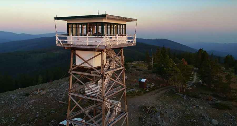
Big Creek Baldy Mountain is a high peak at an elevation of 1,764 meters (5,787 ft) above sea level, located in Lincoln County, Montana. Tucked deep within the Kootenai National Forest, the summit features a historic fire lookout tower accessible via a rough forest track.
| Road facts: Big Creek Baldy Mountain | |
|---|---|
| Location | Lincoln County, Montana (USA) |
| Elevation | 1,764 m (5,787 ft) |
| Length | 9.65 km (6.0 miles) |
| Elevation Gain | 792 m (2,598 ft) |
| Average Gradient | 8.2% |
| Surface | Unpaved (Dirt and loose gravel) |
Where is Big Creek Baldy Mountain?
The peak is located in northwestern Montana, within the Purcell Range of the Kootenai National Forest, near the Canadian border. Access to the mountain requires turning off the paved NF-68 highway onto unpaved forest service roads.
Why is there a road to the summit of Big Creek Baldy Mountain?
The track was built to reach the fire lookout tower constructed at the summit in 1966. Although active fire surveillance ended in the 1980s, the structure remains intact and is rented out to campers during the summer, generating occasional two-way traffic on the narrow single-lane track.
Is the road to Big Creek Baldy Mountain unpaved?
Yes, the access route is known as Forest Road 309, a primitive dirt and loose gravel track. While the lower section is relatively smooth, the final mile becomes rough with embedded boulders, deep ruts, and sharp stones. High-clearance vehicles are required to clear the rock steps without striking the undercarriage.
How long is the road to Big Creek Baldy Mountain?
Starting from the junction with the paved NF-68 road, the climb spans 9.65 kilometers (6.0 miles). Over this distance, the track ascends 792 meters of vertical elevation, yielding a sustained average gradient of 8.2%. The continuous incline forces vehicles to stay in low gears, while the long descent requires engine braking to prevent brake overheating.
Is the road to Big Creek Baldy Mountain open year-round?
No. Due to snowpack in the Purcell Range, Forest Road 309 is only open seasonally, typically from mid-June through late September. Snowdrifts can block the track into early summer, and autumn storms bring early snowfall or mud, making the steep ramps impassable.