Travel guide to the top of Morton Peak in California
Reaching an elevation of 1,410m (4,625ft) above sea level, Morton Peak is a prominent summit located in San Bernardino County, California. Tucked away within the San Bernardino National Forest, the drive to the top is a classic Southern California fire-lookout route, offering a mix of historical significance and a technical unpaved climb that rewards drivers with some of the best vistas in the region.
| Road facts: Morton Peak | |
|---|---|
| Location | San Bernardino National Forest, CA, USA |
| Elevation | 1,410 m (4,625 ft) |
| Road Number | Forest Service Road 1S13 |
| Max Gradient | 13% |
Where is Morton Peak located?
The peak is situated in the southern portion of California, rising above the foothills of the San Bernardino Mountains. The ascent starts directly off the paved CA-38 highway. From the turn-off, the geography shifts from a high-desert environment to rugged forest terrain as you head deep into the national forest lands. It is a popular spot for local adventurers looking for a quick but challenging escape from the San Bernardino valley.
Why is it called Morton Peak?
The peak is named in honor of R. B. Morton, a prominent official of the Redlands settlement during the late 1800s. Morton was instrumental in the early administration and development of the region. Naming the peak after him served to anchor the local geography to the history of the pioneers who first managed these lands. Today, the name remains a link to California’s frontier history and the early days of forest management.
What is at the summit of Morton Peak?
The summit is home to a historic fire lookout tower, which is the primary landmark of the peak. Originally constructed in 1934, the current structure is the result of a comprehensive refurbishment project completed in 2001. The tower is still active and is periodically staffed by trained volunteers who monitor the surrounding canyons and mountains for smoke. From the observation deck, you are rewarded with tremendous 360-degree views of the San Gorgonio Wilderness and the distant valleys below.
Can you drive to the top of Morton Peak in California?
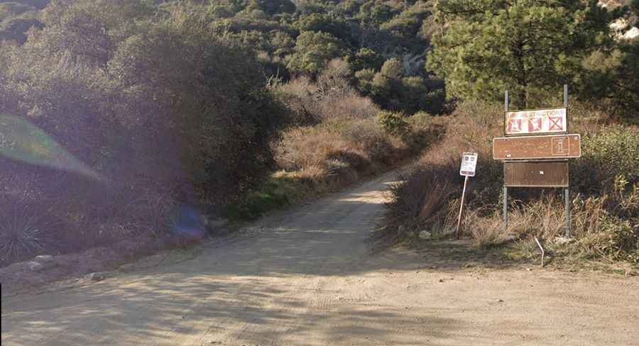
Yes, but the road to the summit, known as Forest Service Road 1S13, is a rough dirt track and is totally unpaved. The road is pretty narrow, often hugging the cliffside with very few places for two vehicles to pass each other. Because of the uneven terrain and potential for ruts, a high-clearance vehicle is highly recommended. After rain or snow, the dirt surface becomes a slippery mud trap, and four-wheel drive (4WD) may be mandatory to complete the climb safely.
How long is the road to Morton Peak in California?
Starting at the turn-off from CA-38, the ascent is 4.18 km (2.6 miles) long. Despite the short distance, the elevation gain of 411 meters makes it a very steep climb. The average gradient is 9.83%, but be prepared for specific ramps that hit a maximum gradient of 13%. These steep sections require steady momentum and careful throttle control to manage traction on the loose decomposed granite common in this mountain range.
Is it safe to visit Morton Peak?
While the drive is an adventure, visitors must stay alert. Bears, rattlesnakes, bobcats, and mountain lions frequent the area, so extreme care is advised when stepping out of your vehicle at the summit. Additionally, the road conditions can change rapidly with the weather. Always check the San Bernardino National Forest alerts before heading out, especially during the winter months when snow can make the 1S13 road impassable for even the most capable off-roaders.