How to drive the wild road to Pilot Peak in California
Pilot Peak is a high mountain peak at an elevation of 2.273m (7,457ft) above sea level, located in Plumas County, in the US state of California.
Where is Pilot Peak?
The peak is located west of Graeagle, in the northern part of California, within the Plumas National Forest.
Why is there a road to Pilot Peak?
The summit hosts a fire lookout tower built in 1976. Weather and vandalism have left the formerly state of the art lookout a mere shell of what it once was.
Is the road to Pilot Peak unpaved?
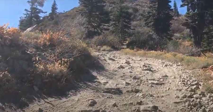
The road to the summit is totally unpaved. A 4x4 vehicle is required. The road is tough, with rocky and steep sections. It features 12 hairpin turns near its end.
How long is the road to Pilot Peak?
Starting from La Porte Road, the road to the summit is 3.1 km long. Over this distance, the elevation gain is 308 m and the average gradient is 9.93%.
Is the road to Pilot Peak open year-round?
Set high in the Sierra Nevada of California, the road is not plowed in winters.
Pic&video: Twyla World