How to drive the unpaved road to Pine Creek Reservoir in Oregon
Pine Creek Reservoir is a high mountain reservoir at an elevation of 2.003m (6,571ft) above sea level, located in Baker County, in the U.S. state of Oregon.
Where is Pine Creek Reservoir?
The reservoir is located within the Wallowa–Whitman National Forest, about 10 miles (16 km) northeast of Sumpter, in the eastern part of Oregon. Set high the Elkhorn Mountains, between Rock Creek Butte (9,105') and Elkhorn Peak (8,931'), a minor unpaved trail located north-west of the reservoir, climbs up to 2.423m (7,949ft) above sea level. It’s one of the highest roads of Oregon.
Is the road to Pine Creek Reservoir unpaved?
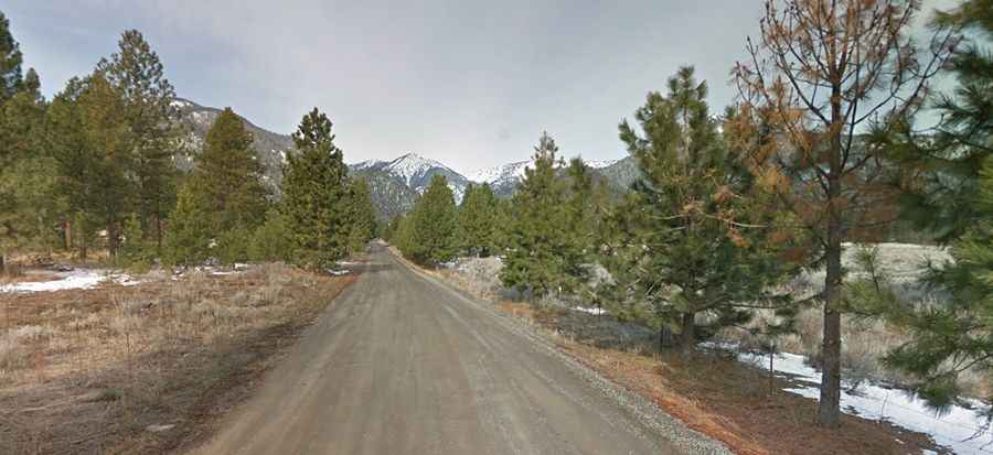
The old rocky road to the reservoir is totally unpaved and very rocky. It’s called Pine Creek Road. Four-wheel drive vehicles are required on the last three miles.
How steep is the road to Pine Creek Reservoir?
The road is very steep, hitting a 23% of maximum gradient through some of the ramps. Due to its steepness the road is not recommended for motor vehicle use.
How long is the road to Pine Creek Reservoir?
Starting west of Wingville, the road is 7.5 km (4,66 miles) long. Over this distance the elevation gain is 789 meters. The average gradient is 10.52%.