A memorable road trip to Isabel Pass in Alaska
Isabel Pass is a mountain pass at an elevation of 1.005m (3,297ft) above sea level, located on the boundary between Valdez–Cordova Census Area and Southeast Fairbanks Census Area, in the U.S. state of Alaska. It’s one of the highest roads in Alaska.
Is Isabel Pass in Alaska paved?
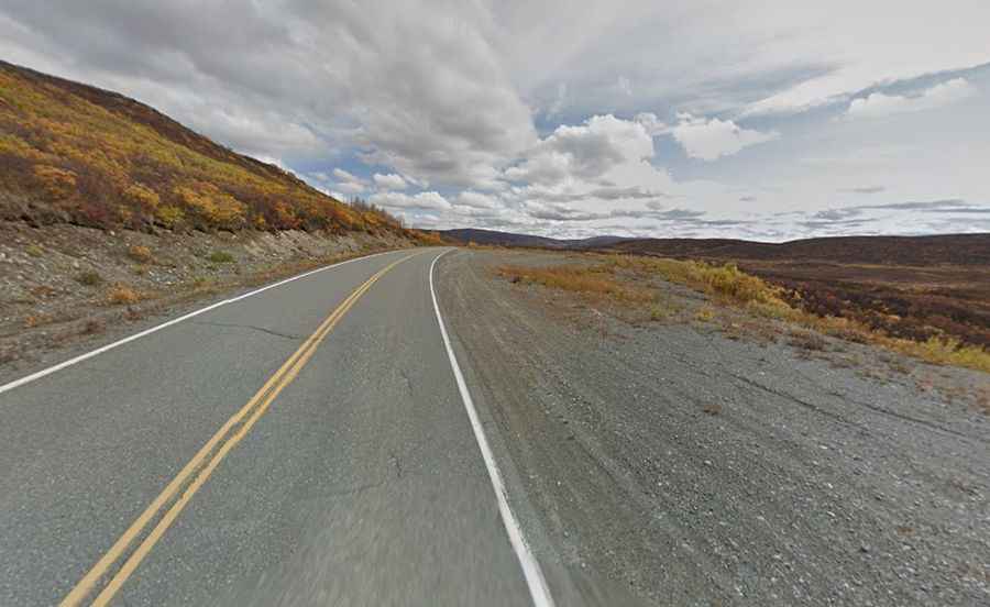
Located about 11 miles from Paxson, the road to the summit is totally paved. It’s called Richardson Highway. The road is 368 miles (562 km) long connecting Valdez (a city in the Chugach Census Area) to Fairbanks (the largest city in the Interior region of Alaska). It is primarily a two-lane road, but becomes a four-lane road as it approaches Fairbanks. It’s in fair to good condition, with some sections of frost heaves and patched pavement. Expect very little traffic, even in the summer.
Is Isabel Pass in Alaska open?
Set high in the eastern section of the Alaska Range, north of the scenic Summit Lake, the road to the summit is typically open all year round, with the occasional closure in winters due to dangerous weather conditions.