The road to Etna Summit in CA has it all
Etna Summit is a high mountain pass at an elevation of 1.827m (5,994ft) above the sea level, located in Siskiyou County, in the northernmost part of the U.S. state of California.
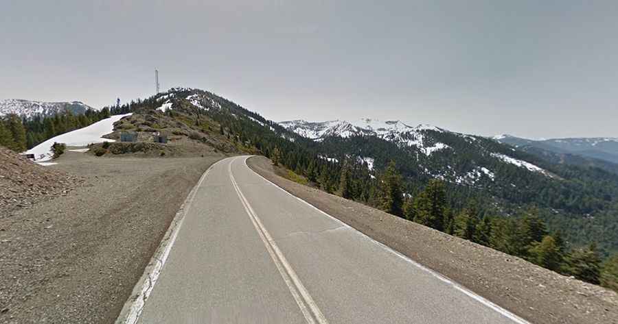
Set high in the Klamath National Forest, in Northern California, the road to the summit is totally paved now but some years ago, the road had some gravel sections. It’s called Sawyers Bar Road. It’s 64.05km (39.8 miles) long, running from Forks of Salmon, situated at the confluence of the north and south forks of the Salmon River, to Etna, in the Scott Valley area.
The drive features a 3,713ft drop in 12 miles of snaketrack, using 1st gear. Brakes are just not suitable for that long of an incline. The road is very rough and mostly one lane. The speed is very slow most of the way, like 10-15mph. The road is really remote and almost no services are available. It can get bloody hot on summer afternoons. Sound horn on all blind curves. Not recommended for campers, trailers, or drivers inexperienced in mountain driving. No services for 40 miles. The road is usually deserted. The road surface is very good. The scenery is stunning and the riding is constantly changing.