How to drive the paved Tollhouse Road in California
Tollhouse Road is the name of a challenging drive located in Fresno County, in the U.S. state of California, with stunning mountain views.
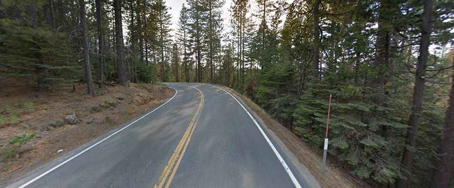
Where is Tollhouse Road?
The road is located in the central part of California, within the Sierra National Forest. It was created as a toll road in the 1860’s.
Is Tollhouse Road paved?
Tollhouse Road (California State Route 168) is totally paved. It is quite challenging, winding around mountains, with turns, hairpin turns, and steep sections.
How long is Tollhouse Road?
It’s 114.42km (71.1 miles) long, running south-north from Fresno, a city in California's San Joaquin Valley to Huntington Lake. Plan 2 hours to complete the drive without any stop.
How to drive the paved road to Tamarack Ridge?
The road tops out at Tamarack Ridge, a high mountain pass at an elevation of 2.312m (7,585ft) above sea level.
Is the Tollhouse Road open in winters?
Set high in the Sierra Nevada mountains, the road is usually open year-round. Short-time closures are common in winter when the weather is bad.
Road suggested by: Carol Justice