The road to Taylor Peak in CO: a chillout in high mountains
Taylor Peak is a high mountain peak located on the boundary between Pitkin and Gunnison counties in the U.S. state of Colorado. A minor road, north of the summit, climbs up to 3.602m (11,817ft) above the sea level, It’s one of the highest roads of Colorado.
Set high in Colorado’s Rocky Mountains in the Elk Range, within the White River National Forest, the road to the summit is mostly paved. Starting at Aspen, on CO-82, the road is 39.18km (24.34 miles) long. 21.08km (13.1 miles) are paved, along the scenic Castle Creek Road, and the remaining are unpaved. The drive leads to Ashcroft Ghost Town.
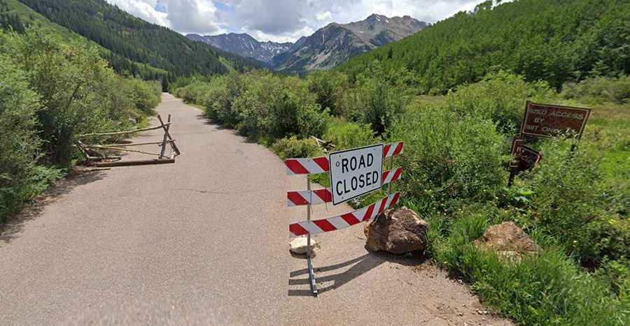
A 4x4 vehicle is required to complete the drive. The open and close dates of the road depend on snowmelt and snowfall each year. Snow and ice can be present well into late summer at higher elevations. During years of heavy snowpack, the summit can be blocked for the entire year. The road to the summit is steep. Starting at the paved CO-82 road, the ascent is 39.18km (24.34 miles) long. Over this distance the elevation gain is 1.184 meters. The average gradient is 3.02%.