How steep is the 4x4 road to Thunder Mountain in California?
Thunder Mountain is a high mountain peak at an elevation of 2,613m (8,572ft) above sea level located in San Bernardino County, in the US state of California. The road to the summit is a service road for the ski lifts.
| Road facts: Thunder Mountain | |
|---|---|
| Location | San Bernardino County, California (USA) |
| Elevation | 2,613 m (8,572 ft) |
| Length | 2.09 km (1.3 miles) |
| Average Gradient | 11% |
| Max Gradient | 22% |
How long is the road to Thunder Mountain?
The road starts at the end of the paved Mount Baldy Road. It’s 2.09 km (1.3 miles) long. In this very short distance, the road gains 230 vertical meters. This results in a relentless average gradient of 11%, but the real challenge is the sections that hit a massive 22% incline. On these ramps, the surface is composed of loose dirt and granite rocks.
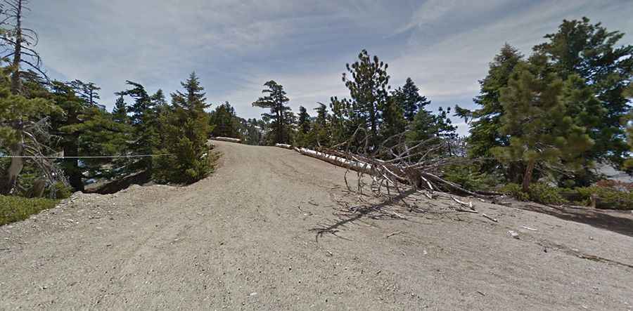
Is the road to Thunder Mountain unpaved?
The road is entirely unpaved and serves primarily as a maintenance route for the chairlifts of the Mt. Baldy Resort. The road is pretty wide but completely unprotected and extremely rough. High ground clearance and a true 4x4 system are required. The exposure is high, and as you climb toward the 2,613m summit, the track becomes even more primitive, ending abruptly at the top of the lift structures where there is very little room to turn around.
Is the road to Thunder Mountain open year-round?
Set high in the San Gabriel Mountains, within the Angeles National Forest, access to the summit is strictly seasonal and depends entirely on the snowpack of the San Gabriel Mountains. The road is typically buried under several feet of snow from late October through late June or even early July. Driving is only possible once the snow has fully melted and the ski resort crews have cleared the larger debris from the track.