Road trip guide: Conquering Lucky Boy Pass in NV
Lucky Boy Pass is a high mountain pass at an elevation of 2.449m (8,034ft) above the sea level, located in Mineral County, in the U.S. state of Nevada.
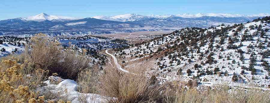
Set high in the Wassuk Range of Western Nevada, within the Toiyabe National Forest, the road to the summit is totally unpaved. It’s called Lucky Boy Pass Road. It’s mostly a graded dirt road, suitable for 2 wheel drive vehicles in dry weather.
Located near Hawthorne, access to the pass is typically open all year round, with the occasional closure in winters due to dangerous weather conditions. It was originally a path that was developed by prospectors. The road to the summit is very steep, hitting a 14% of maximum gradient through some of the ramps. Starting at the paved State Road 359, the ascent is 13.19km (8.2 miles) long. Over this distance the elevation gain is 930 meters. The average gradient is 7.05%.
Pic: David Goulart