How to get by car to Libby Lake in Wyoming?
Lewis Lake is a high mountain, crystal-clear snow-melt lake at an elevation of 3.289m (10,790ft) above sea level, located in Albany County, in the US state of Wyoming. It's one of the highest roads in Wyoming.
Where is Libby Lake?
The lake, with Sugarloaf and Medicine Bow Peak as the backdrop, is located south of Lewis Lake, in the northwestern part of Wyoming.
How long is the road to Libby Lake?
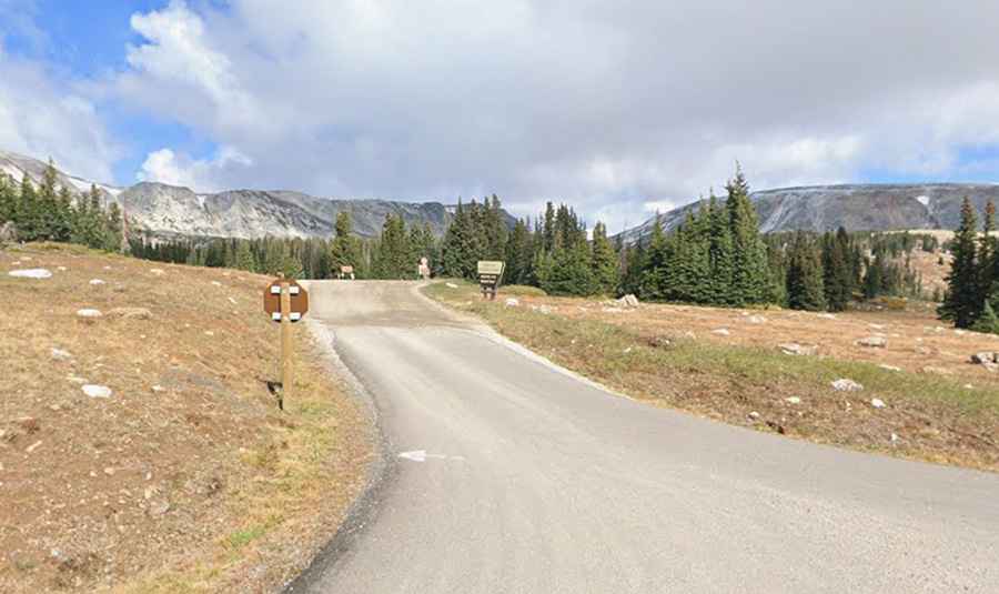
The road to the lake is unpaved but in pretty good condition. It’s called Forest Road 346. Starting at WY-130, the road is 1.12km (0.7 mile) long. The drive offers delightful views of the Snowy Range.
Is the road to Libby Lake open in winter?
Set high in the Medicine Bow-Routt National Forest, the road is usually closed from late October through late June or early July (depending on snow). It is not generally snow-free until late June or even July in some years. It has a very limited season to drive on, due to snowfall and elevation.
How to get ready to get to Libby Lake?
The road can be a bit busy on weekends. Be sure to carry bear spray with you as you explore, and keep an eye out for wildlife. Be fully prepared for all kinds of weather and pack multiple layers along with water and snacks.