The Loneliest Highway to Sacramento Pass in NV
Sacramento Pass is a high mountain pass at an elevation of 2.185m (7,168ft) above the sea level, located in White Pine County, along the central eastern boundary of the U.S. state of Nevada.
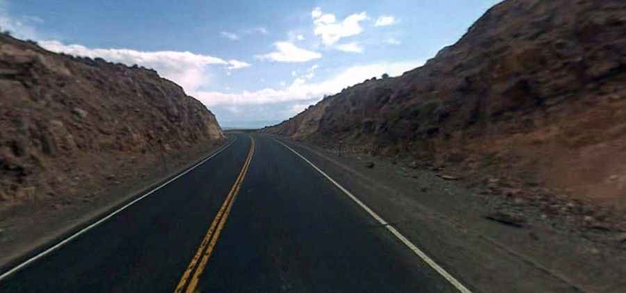
Set high on the crest of the Snake Range, on the outskirts of Great Basin National Park, the road to the summit is totally paved. It’s the infamous US Highway 50, nicknamed as the Loneliest Highway in America. Access to the pass is typically open all year round, with the occasional closure in winters due to dangerous weather conditions. Across the highway to the north Blackhorse Mining District, a ghost town still has remains to explore.
The road is pretty steep, with some parts up to 8% grades with numerous turns. The pass road is 101.06km (62.8 miles) long, running west-east from Ely, the county seat of White Pine County, to the Utah border. It is Nevada's most easterly summit on the highway.