How to get by car to Left Hand Reservoir in Colorado?
Left Hand Reservoir is a high mountain reservoir at an elevation of 3,256 m (10,682 ft) above sea level, located in Boulder County, in the U.S. state of Colorado. It’s a good reservoir for fishing.
Where is Left Hand Reservoir?
The reservoir is located west of Ward, in north-central Colorado, in the heart of the Indian Peaks, within the Arapaho and Roosevelt National Forests.
Is the road to Left Hand Reservoir in Colorado unpaved?
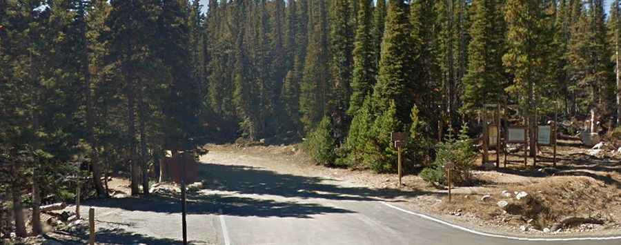
The road to the reservoir is totally unpaved and rough. It’s called Left Hand Reservoir Road. A 4WD high-clearance vehicle is required. Not suitable for standard 2WD vehicles. There are big ruts throughout the trail that could lead to some approach and departure angle struggles. SUVs are not recommended due to the size of the ruts. The road is prone to exposure from high winds. It’s steep, reaching a 10% maximum gradient through some of the ramps. The trail has lots of tree stumps, rocks, and boulders on the sides that allow for some good pictures.
Is the road to Left Hand Reservoir open in winter?
Set high on the Front Range of the southern Rocky Mountains, the road is open from approximately mid-June through mid-October only.
How long is the road to Left Hand Reservoir in Colorado?
Starting at the paved Forest Road 112 (Brainard Lake Road), the ascent is 2.67 km (1.65 miles) long. Over this distance, the elevation gain is 183 meters. The average gradient is 6.85%.