Road trip guide: Conquering Peerless Mountain in Colorado
Peerless Mountain is a high mountain peak at an elevation of 4.022m (13,195ft) above sea level, located in the U.S. state of Colorado. It’s one of the highest roads of Colorado.
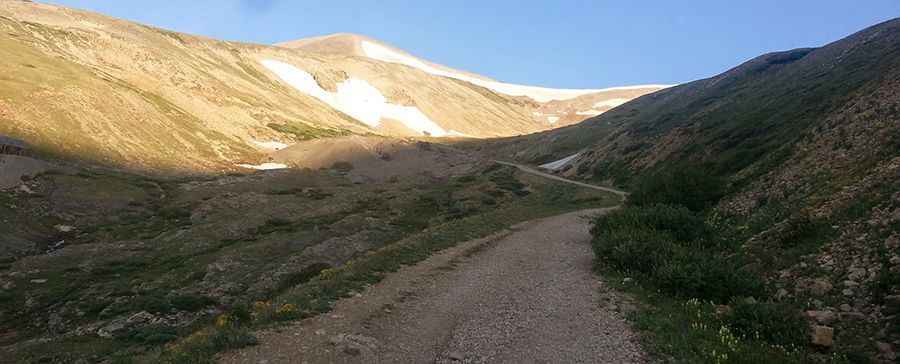
Where is Peerless Mountain?
The peak is located on the boundary between Park and Lake counties, in the central part of Colorado, within the San Isabel National Forest. Near the summit there are remnants of abandoned old mining facilities.
Is the road to Peerless Mountain unpaved?
The bumpy road to the summit is totally unpaved and very rocky. It’s called County Road 18 (4 Mile Creek Road). It’s narrow and very steep hitting a 16% of maximum gradient through some of the ramps. The drive takes you past several well-preserved historic mining sites and structures.
Can I drive my vehicle to Peerless Mountain?
The road can be driven in many stock SUVs equipped with 4x4 & higher clearance. However, the road is continuously rocky and does present some degree of clearance challenges for stock SUVs.
How long is the road to Peerless Mountain?
Starting at Fairplay (the county seat of Park County), the road to the summit is 21.2 km (13.17 miles) long. Over this distance the elevation gain is 1.014 meters. The average gradient is 4.78%.
Is the road to Peerless Mountain open year-round?
Set high in the Tenmile-Mosquito Range of the Mosquito Range of the Rocky Mountains, the road is not plowed in winters. There is a big snow drift blocking the main road until very late in the summer. Keep an eye on the weather for thunderstorms and lightning.
Pic: Mike Langenkamp