Driving the Custer Motorway to Mill Creek Summit
Mill Creek Summit is a high mountain pass at an elevation of 2.685m (8,809ft) above the sea level, located in Custer County, in the U.S. state of Idaho.
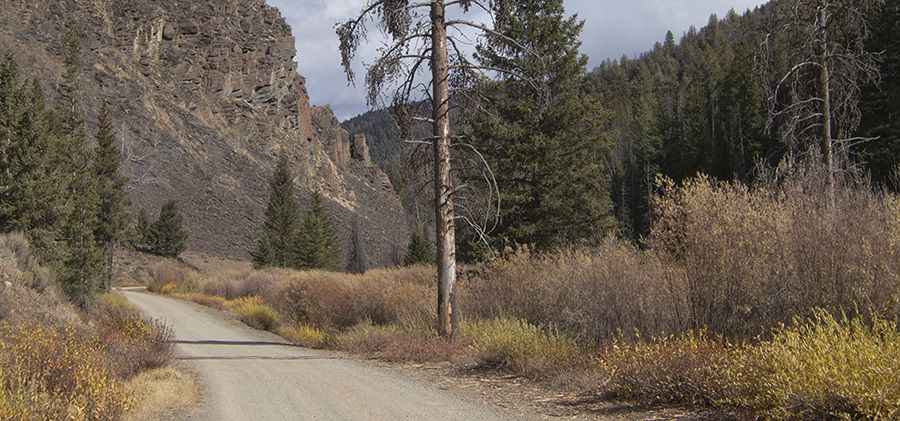
Set high in the Salmon-Challis National Forest, in the center of Idaho, the road to the summit is mostly dirt and gravel, with narrow parts. It’s called Mill Creek Road (County Road 070), part of the historic Custer Motorway. It’s an old toll road from the mining towns of Custer and Bonanza to the town of Challis, completed in 1879. The road is also known as Yankee Fork Road.
The road is steep, hitting a 12% of maximum gradient through some of the ramps. The road is open from July to October. It’s not recommended for low clearance vehicles or trailers because the road is washboarded in several sections. The road is 70.16km (43.6 miles) long running from Challis on US Hwy 93, to Sunbeam on ID State Hwy 75.
Pic: Ralph Maughan