How to drive the paved road to Quartz Mountain Pass in Oregon?
Quartz Mountain Pass is a high mountain pass at an elevation of 1.679m (5,508ft) above sea level, located in Lake County, in the U.S. state of Oregon.
Where is Quartz Mountain Pass?
The pass is located in the southern part of Oregon, near the California border, to the west of Drews Gap.
Why is it called Quartz Mountain Pass?
The pass was named after a ledge of quartz in this ridge.
How long is Quartz Mountain Pass?
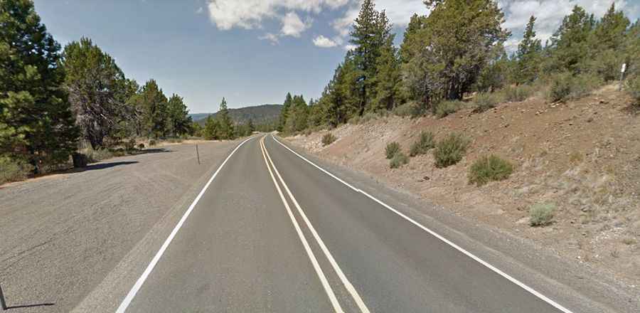
The road to the summit is totally paved. It’s called Oregon Route 140. The pass road is 68.07km (42.3 miles) long, running west-east from Bly (in Klamath County) to Lakeview (the county seat of Lake County).
Is Quartz Mountain Pass open year-round?
Set high in the Fremont-Winema National Forest, the pass is the highest point along Route 140. Access to the pass is typically open all year round, with the occasional closure in winters due to dangerous weather conditions.