A paved road to Ibex Pass in Death Valley NP
Ibex Pass is a mountain pass at an elevation of 635m (2,083ft) above sea level, located in the U.S. state of California.
Where is Ibex Pass?
The pass is located on the boundary between Inyo and San Bernardino counties, in the eastern central part of California, within the Death Valley National Park.
Is the road to Ibex Pass paved?
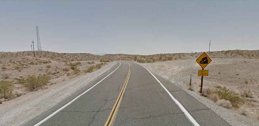
The road to the summit is totally paved. It’s called California State Route 127 (Death Valley Road). The road features steep sections and it is subject to flooding.
How long is the road to Ibex Pass?
The pass road is 90.28km (56.1 miles) long, running north-south from Shoshone (in Inyo County, in the eastern central part of California) to Baker (in San Bernardino County, in the southern portion of California).