The road to Columbia Ridge is not for the faint of heart
Columbia Ridge is a high mountain peak at an elevation of 2.398m (7,867ft) above the sea level, located in Idaho County, in the U.S. state of Idaho.
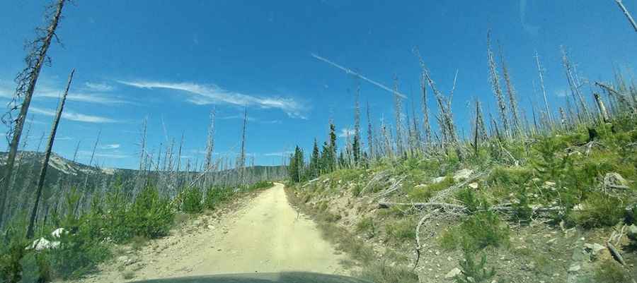
Located into the Gospel-Hump Wilderness Area, in the Nez Perce National Forest, the road to the summit is very rough and narrow. It’s called Crooked River Road (Forest Road 233) and starts south off State Highway 14. Proceed cautiously and hope no other vehicles come from the other direction. In some parts the road is nothing but a boulder bed that seasonally runs with water.
Tucked away in the Clearwater Mountains, the road is not suitable for low clearance vehicles or trailer towing. Accessibility is largely limited to the summer season. It is not generally snow-free until late June or even July in some years. No cell phone service.
Pic: Nathanael Schey