Driving to Mackinaw Lake is not a piece of cake
Mackinaw Lake is a high mountain lake at an elevation of 3.295m (10,810ft) above the sea level, located in Garfield County, in northwestern Colorado, USA.
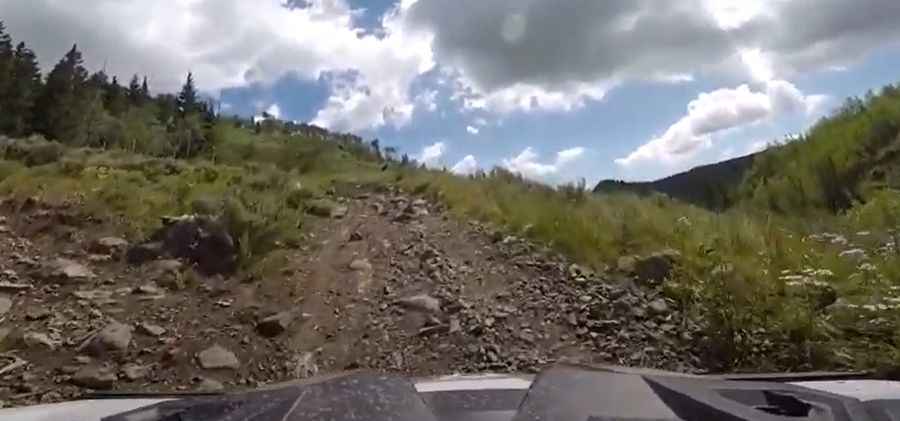
Located along the southeast slope of the Flat Tops Wilderness, the road to the lake is totally unpaved with a few rocky sections along the way. It’s called Forest Road 613. The road is very rough, with a mix of trail riding, rock crawling, mud, water and creek crossings. Starting from County Road 39 (known as the Derby Mesa Loop), the road to the lake is 19km (12 miles) long.
Located high on the Colorado Flattops, accessibility is largely limited to the summer season. It is not generally snow-free until late June or even July in some years. It’s not an easy drive. Drive as far as you dare and don’t get stuck. High clearance 4wd with a low range vehicle required.
Pic&video: eaglefd951