How To Travel The Beaver Creek Road in Colorado
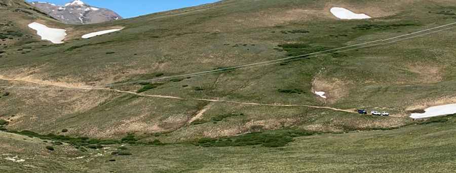
County Road 655 (Beaver Creek Road) is a high mountain road located in Park County, in the U.S. state of Colorado. It’s one of the highest roads of Colorado.
Where is the Beaver Creek Road?
The road is located south of Breckenridge, in the central part of Colorado, within the Pike National Forest.
Is the Beaver Creek Road unpaved?
The road is totally unpaved. It comprises narrow parts and steep sections. A 4x4 vehicle is required. This area is clearly posted a private property with no trespassing signs.
How long is the Beaver Creek Road?
County Road 655 (Beaver Creek Road) is 14km (8.69 miles) long, running from Alma, the highest incorporated town in North America, to Beaver Creek Iron Mine, at 3.686m (12,093ft) above sea level. Over this distance, the elevation gain is 520 meters and the average gradient is 3.71%.
Is the Beaver Creek Road open year-round?
Set high in the Front Range, the road is not plowed in winters and accessibility is largely limited to the summer season. A minor gravel road, north of Beaver Ridge, climbs up to 3.787m (12,424ft) above sea level.
Pic: John Carter